Predict. Prevent. Protect.
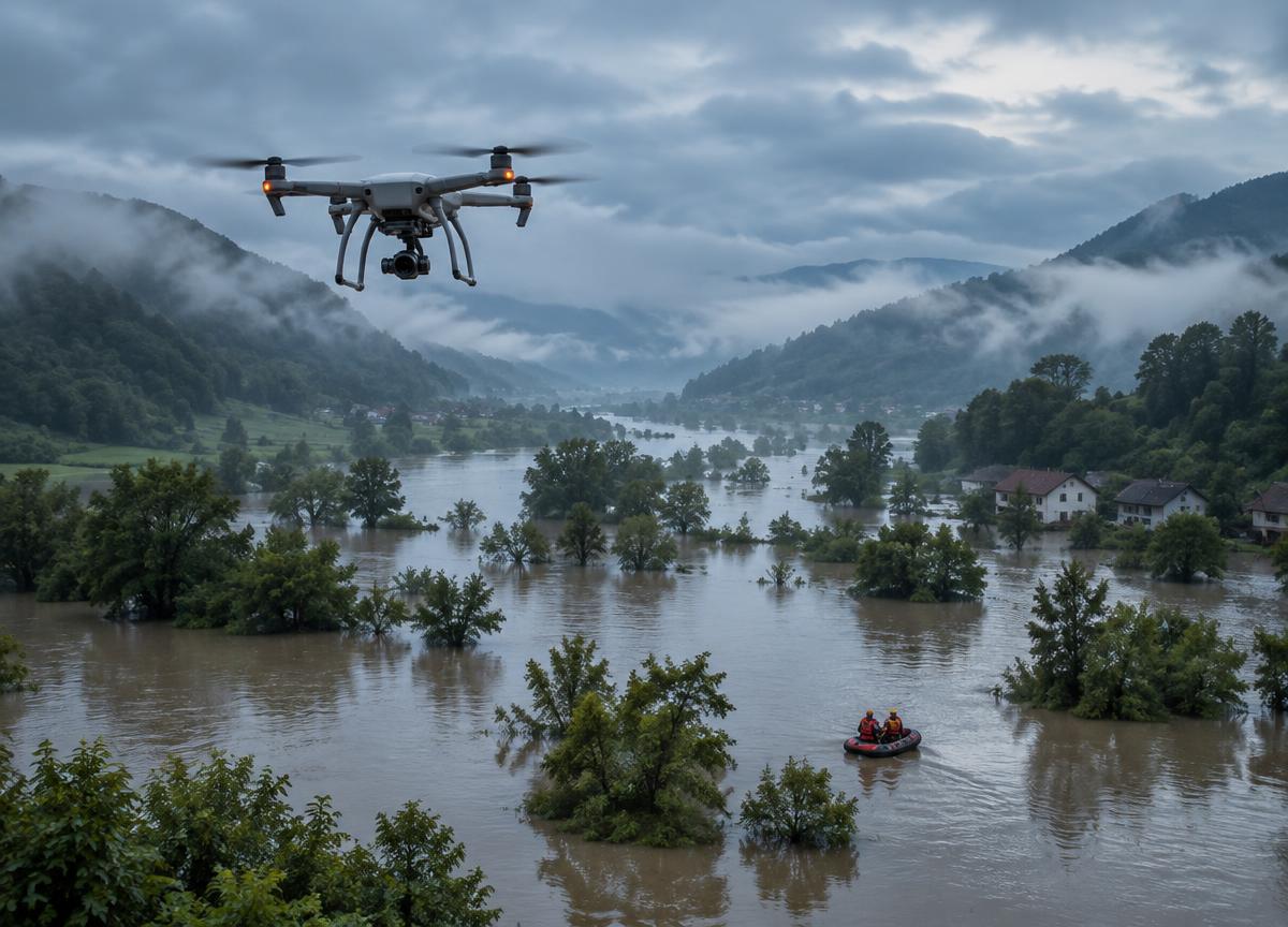
Flood Detection & Hydrological Mapping
Sensor-heavy autonomous platforms use edge intelligence to track terrain, rainfall and water flow, helping identify emerging flood risks.
ExploreExplore autonomous aerial systems designed to extend human capability across critical environments, industries and real-world challenges.
Sensor-heavy autonomous platforms use edge intelligence to track terrain, rainfall and water flow, helping identify emerging flood risks.
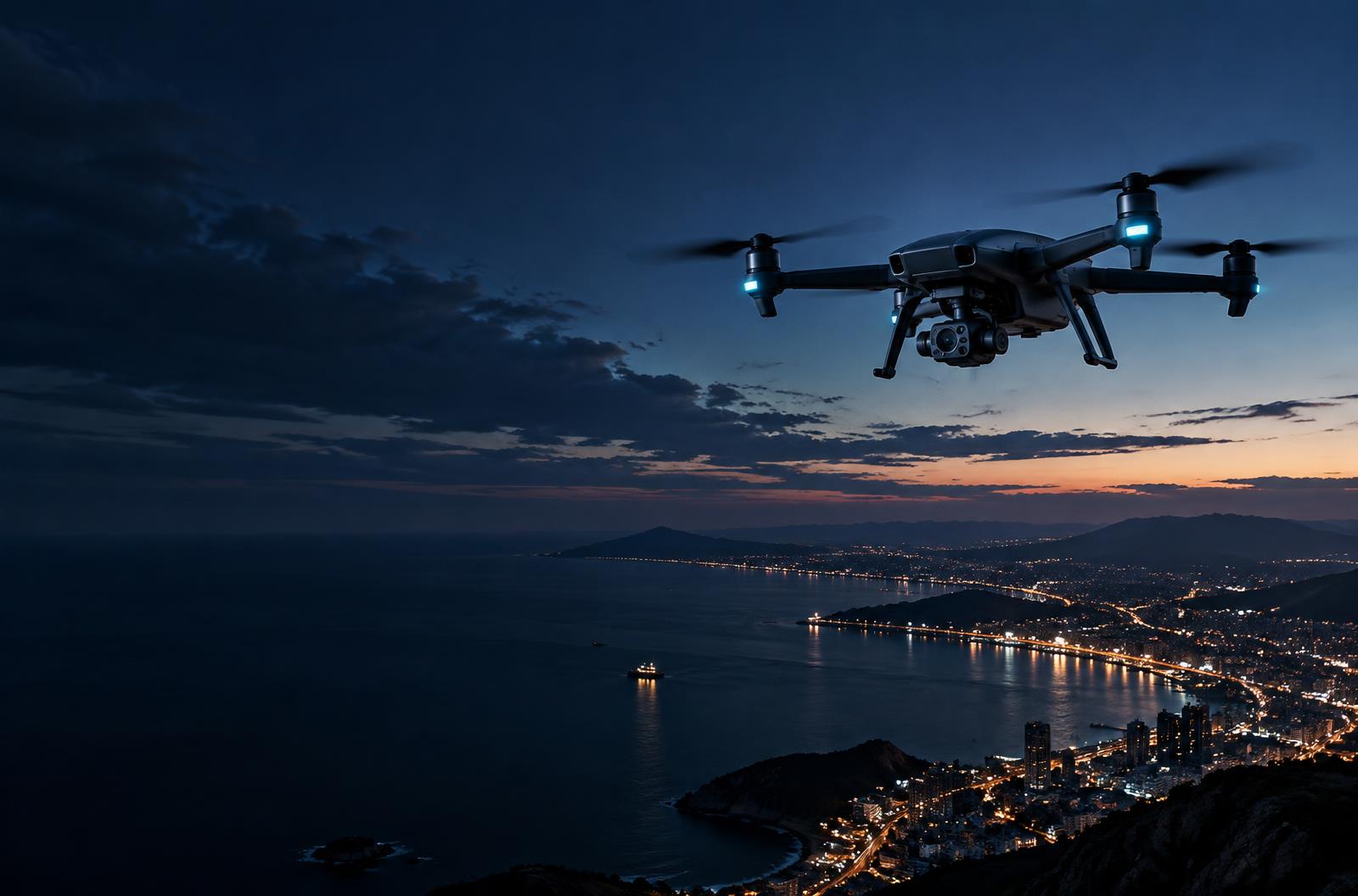
ExploreThermal-imaging platforms designed to help teams identify human heat signatures through rain, darkness and forest canopies.
ExploreAerial support for water-safety teams, carrying compact flotation aids and essential supplies to people before rescuers can reach them.
ExplorePersistent, tether-powered aerial observation for event safety, incident coordination and infrastructure monitoring.
Explore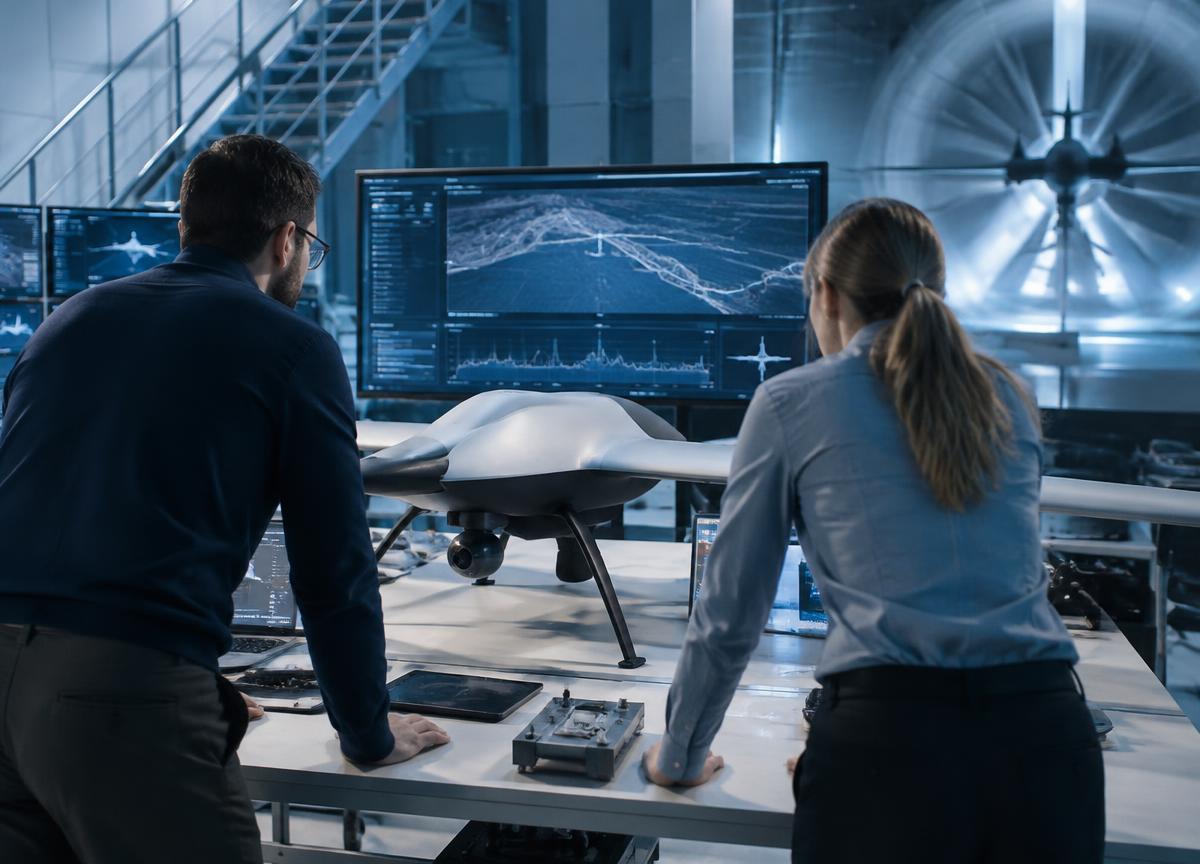
A high-level overview of emerging, remotely operated defence capabilities and the governance, safety and accountability principles essential to their evaluation.
ExploreHigh-level exploration of sensing resilience and mission assurance for complex electromagnetic environments, without operational or targeting guidance.
ExploreCompact indoor observation platforms can help authorized response teams understand unfamiliar spaces while keeping people at a safer distance.
Explore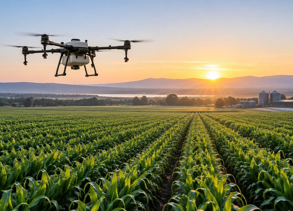
Aerial application platforms support targeted crop care, helping agricultural teams plan efficient treatments and monitor field conditions.
ExploreAerial mapping and seed-delivery workflows support restoration teams working across large or hard-to-reach landscapes.
ExploreQuiet aerial monitoring helps conservation teams observe habitats, identify environmental change and coordinate patrols responsibly.
ExploreTell us where you need to go. We'll help you explore the right flight system.