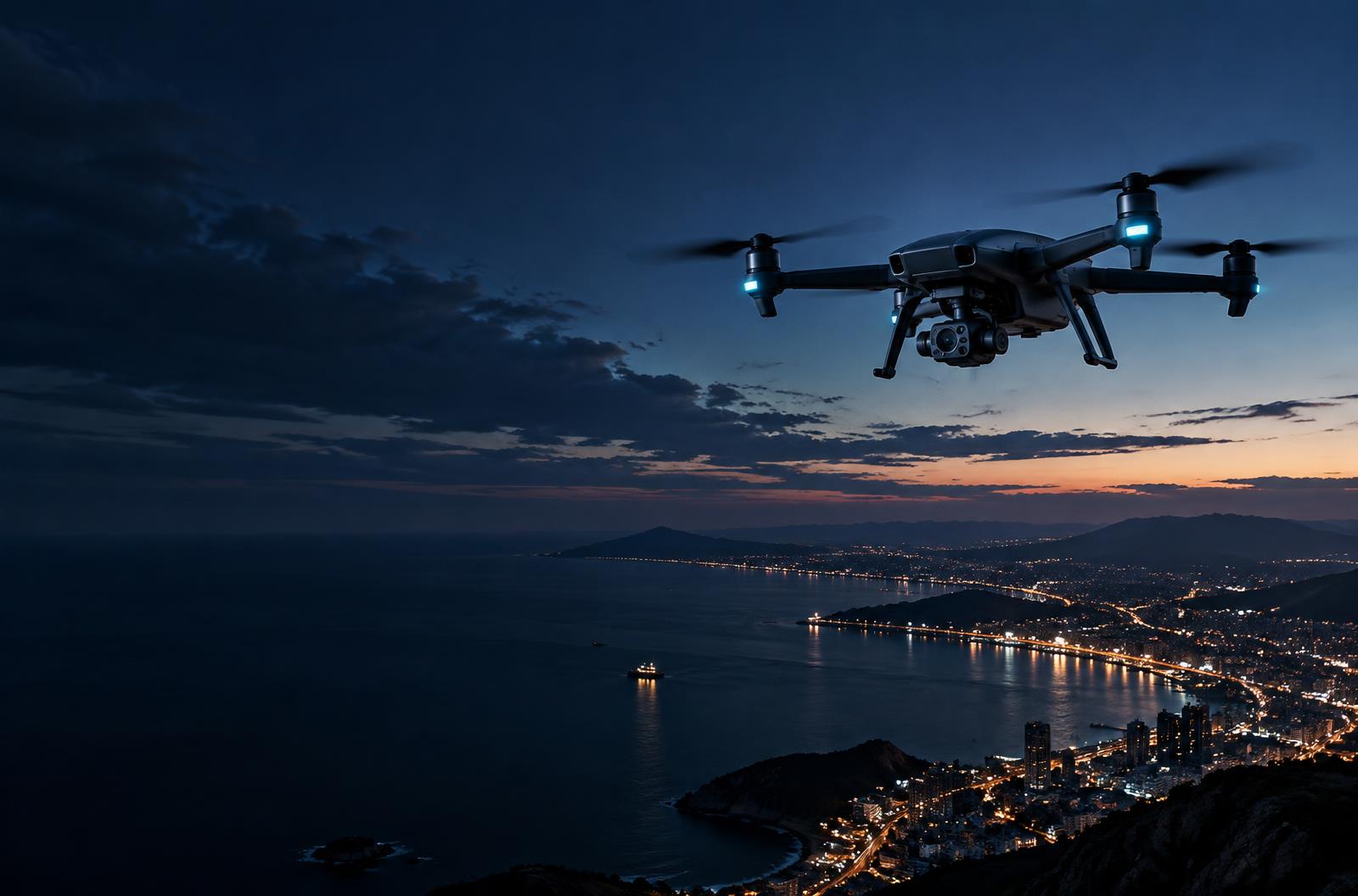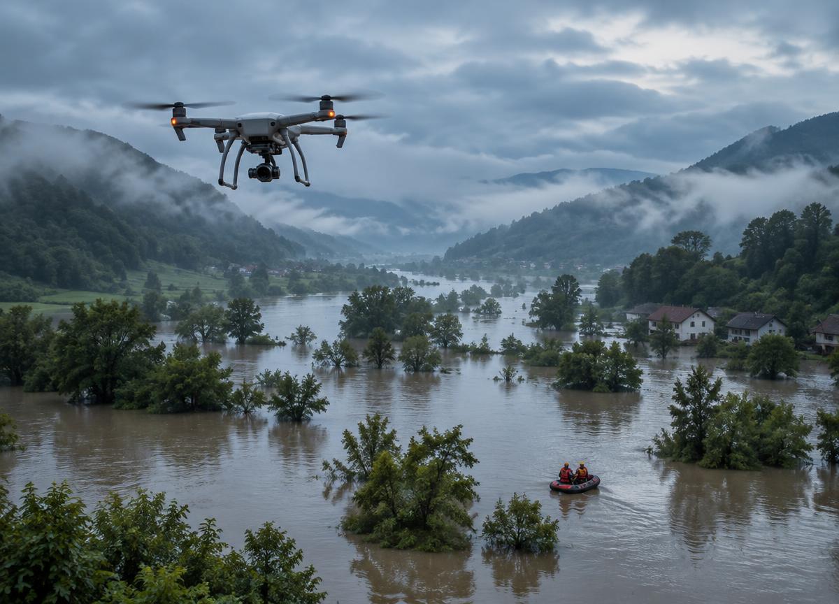
In the hours after a major event, the conditions on the ground can change faster than conventional maps. Aerial mapping offers teams a way to build a current picture of affected areas.
Useful response maps are designed around the decisions teams need to make: which routes are open, where communities may be isolated and how conditions are evolving.
Data sharing and privacy matter just as much as collection. Clear operating procedures help responders turn imagery into coordinated action while respecting the people they serve.
“Technology is most meaningful when it gives people better information at the moment they need it.”
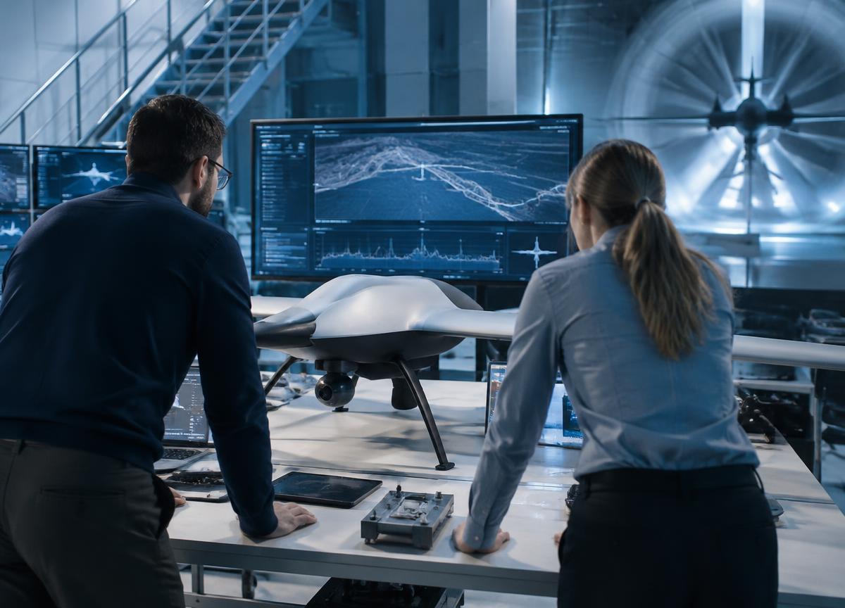
Designing for the field means more than building a capable aircraft. It means creating a system that communicates clearly, operates with purpose and earns the confidence of the people who use it.