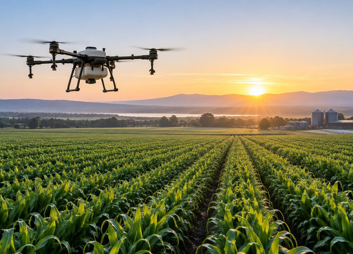
Fields are never perfectly uniform. Aerial observation can help growers spot patterns in crop vigor, drainage or stress and prioritize where a closer look may be useful.
Combining consistent imagery with local knowledge creates a better foundation for field decisions. A drone does not replace agronomic expertise; it helps teams use their time and resources more thoughtfully.
Privacy, weather, safe flight and local rules all shape effective operations. Careful mission planning makes aerial tools a more dependable part of modern agriculture.
“Technology is most meaningful when it gives people better information at the moment they need it.”
Designing for the field means more than building a capable aircraft. It means creating a system that communicates clearly, operates with purpose and earns the confidence of the people who use it.