Predict. Prevent. Protect.
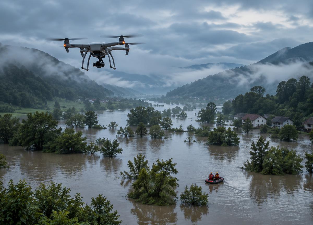
Flood Detection & Hydrological Mapping
Sensor-heavy autonomous platforms use edge intelligence to track terrain, rainfall and water flow, helping identify emerging flood risks.
ExploreAerial mapping and seed-delivery workflows support restoration teams working across large or hard-to-reach landscapes.
A considered balance of reliable platforms, actionable information and clear human oversight.
Aerial mapping and seed-delivery workflows support restoration teams working across large or hard-to-reach landscapes. Each system is planned around real-world conditions and the people responsible for safe, informed decisions.
Specifications are mission-specific and require confirmation during project scoping. No performance figures are implied.
Sensor-heavy autonomous platforms use edge intelligence to track terrain, rainfall and water flow, helping identify emerging flood risks.
ExploreThermal-imaging platforms designed to help teams identify human heat signatures through rain, darkness and forest canopies.
ExploreAerial support for water-safety teams, carrying compact flotation aids and essential supplies to people before rescuers can reach them.
ExploreBring us your operational context. We will help shape a practical conversation around your needs.