Predict. Prevent. Protect.
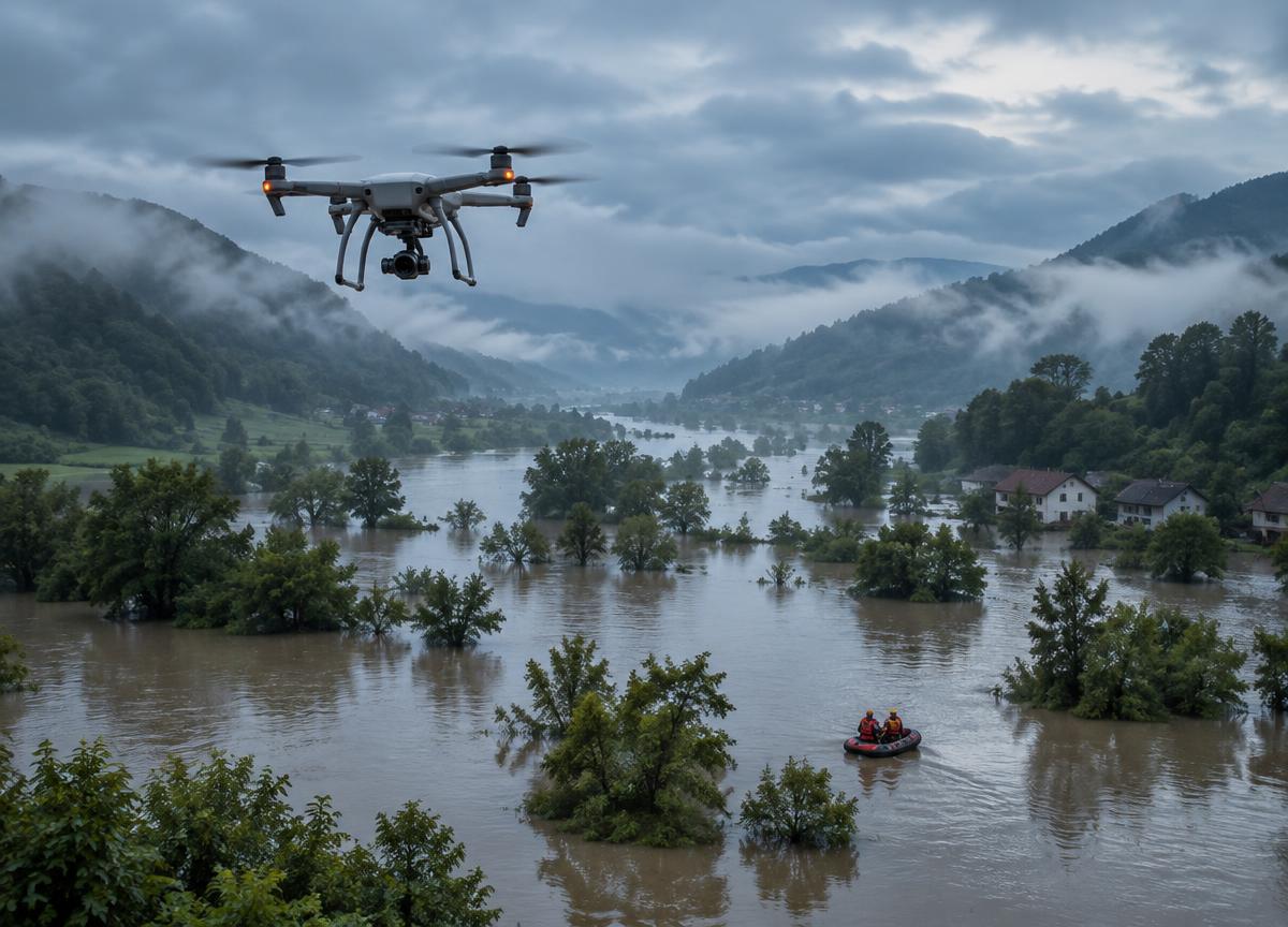
Flood Detection & Hydrological Mapping
Sensor-heavy autonomous platforms use edge intelligence to track terrain, rainfall and water flow, helping identify emerging flood risks.
ExploreSupport emergency teams with timely aerial mapping, damage assessment and delivery of essential supplies in hard-to-reach places.
A considered balance of reliable platforms, actionable information and clear human oversight.
Support emergency teams with timely aerial mapping, damage assessment and delivery of essential supplies in hard-to-reach places. Each system is planned around real-world conditions and the people responsible for safe, informed decisions.
Specifications are mission-specific and require confirmation during project scoping. No performance figures are implied.
Sensor-heavy autonomous platforms use edge intelligence to track terrain, rainfall and water flow, helping identify emerging flood risks.
ExploreThermal-imaging platforms designed to help teams identify human heat signatures through rain, darkness and forest canopies.
ExploreBring us your operational context. We will help shape a practical conversation around your needs.